See & do
Walking and nature
Short walks in park, forest and by the lake — a photo and a sentence, not a trail dump.
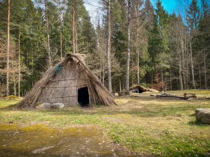
Start in Stadsparken, walk out to Duveholmssjön or take the forest at Vrå. Vrå is reconstructed huts with no staffed entrance — decent shoes; we do not list our own hours.
Hittaut Katrineholm 2026: 160 checkpoints 2 April–30 September per the municipality. Free, around the clock. Paper maps at the library, Duveholmshallen, ICA Maxi, Friskis & Svettis and further pickup points; digital map in the Hittaut app. Organiser: Katrineholm OK. Forest maps close 30 September; the club lists remaining maps to 31 October.
Hittaut Katrineholm is a separate article with pickup points. It has no photo of a checkpoint — so it is a link, not a card.
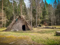
Vrå prehistoric village
Reconstructed huts in quiet forest. Decent shoes; no staffed entrance.
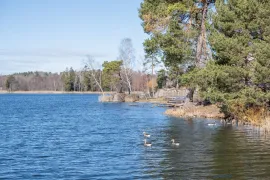
Duveholmssjön
A walk around the water without a car. An evening loop or a longer circuit.
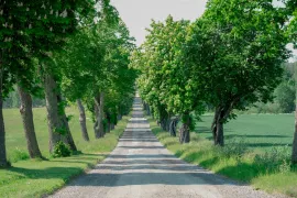
Eriksberg avenue
A gravel avenue toward the castle. Park and paths around the lake — check hours at eriksberg.se.
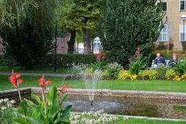
Stadsparken
A central park for a loop — fountain, stage and grass.
Guides for your visit
Djulö wetland – getting here, parking and walks →
Three entrances, parking at Stora Djulö and nature to explore on foot. Plan your visit to Katrineholm’s new wetland.
Tornstugan by Näsnaren – walking, parking and a barbecue spot →
A walk of about 600 metres through Tornskogen brings you to views across Näsnaren. Find the parking area, barbecue spot and access information for the building and tower.
Fishing near Katrineholm – lakes and where to buy permits →
Aspen, Yngaren or Öljaren? Find permits, prices and key rules to help you plan a fishing trip near Katrineholm.